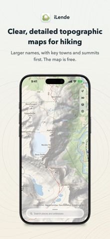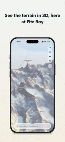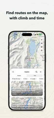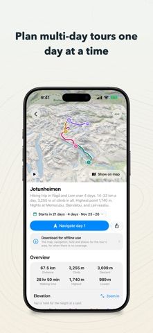
iLende is an outdoor map built for people planning hikes, ski tours, and rides across several Northern European and Alpine regions. Its maps combine contour lines, hillshading, 3D terrain, trails, huts, shelters, and route details. Search can find places and routes, while the location view follows the direction you face. Pro adds tools for longer trips, including offline map downloads, route planning, turn-by-turn navigation, Apple Watch use, and waypoint syncing. Some map coverage is free, and the current US listing shows Pro and regional map purchases; the app page describes Pro as available through a yearly subscription or a one-time purchase, so exact options may vary by region. The developer says it collects no data. Download maps before heading into areas without signal and check local trail conditions before a trip.